Eastside Alignment
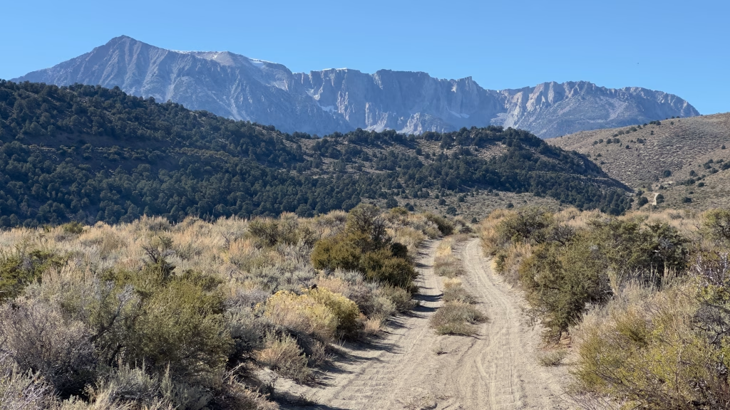
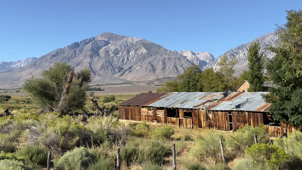
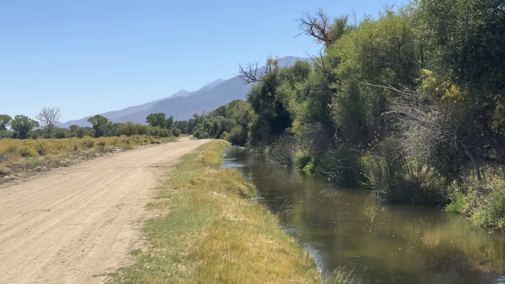
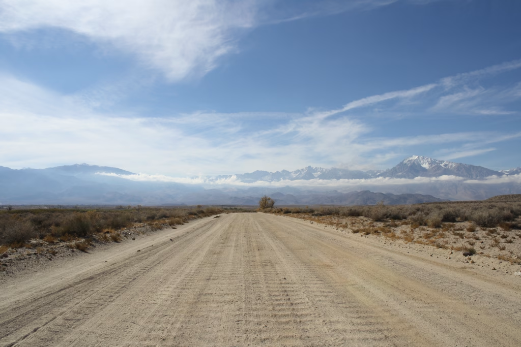
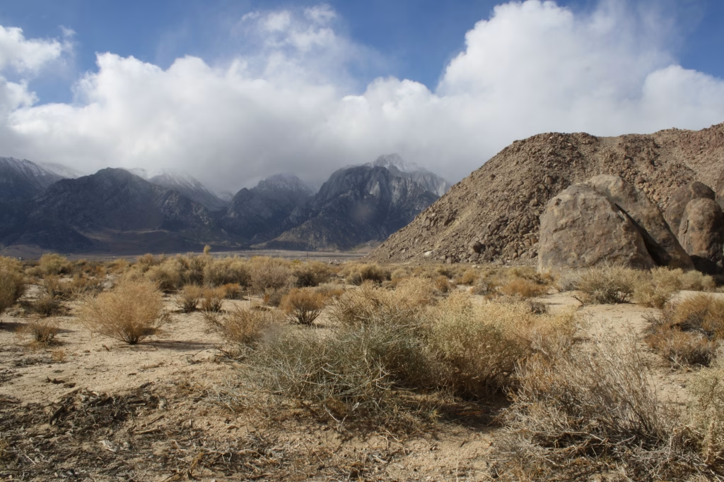
The wonders of the High Sierra Escarpment and the Owens Valley
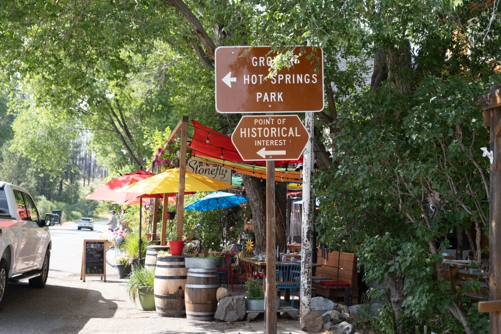
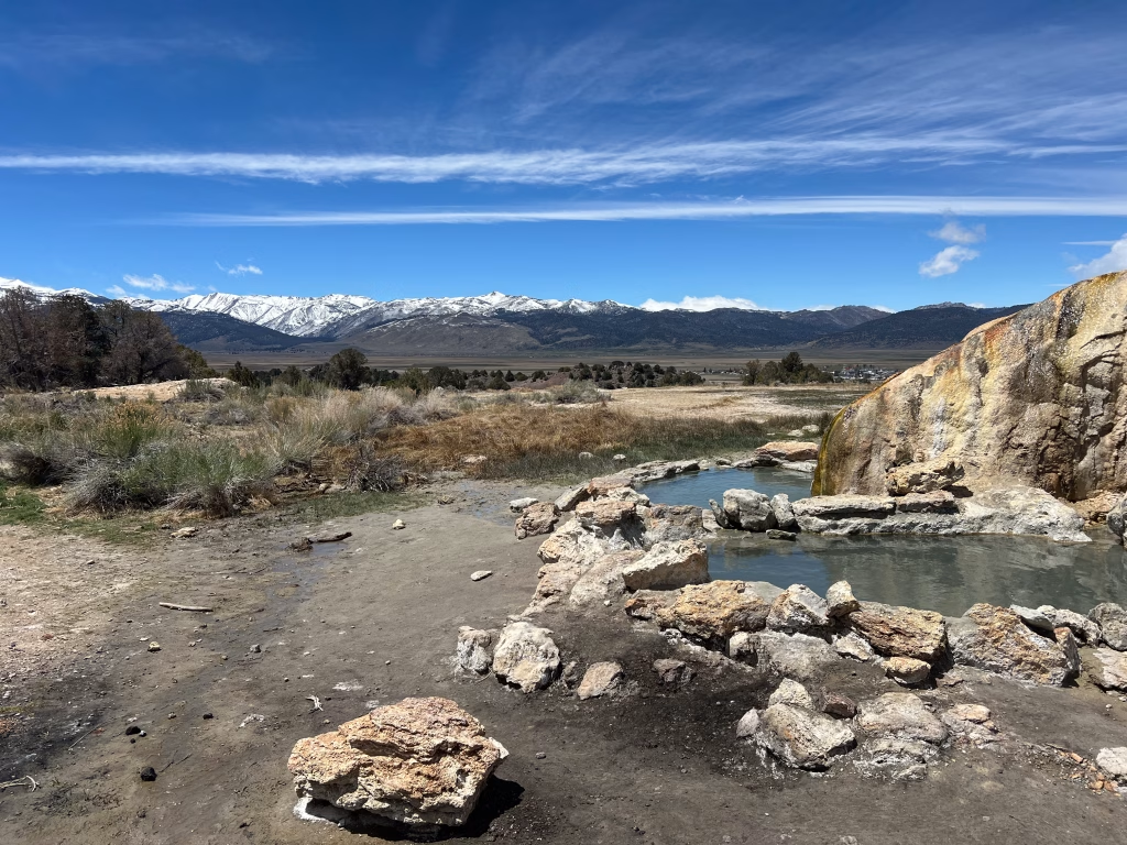
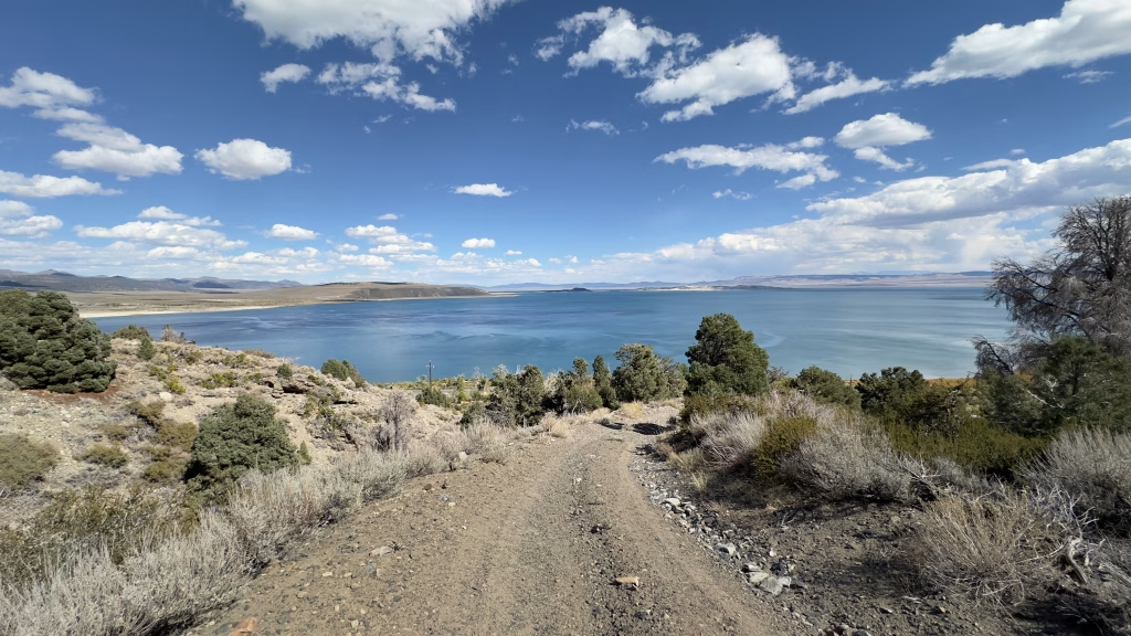
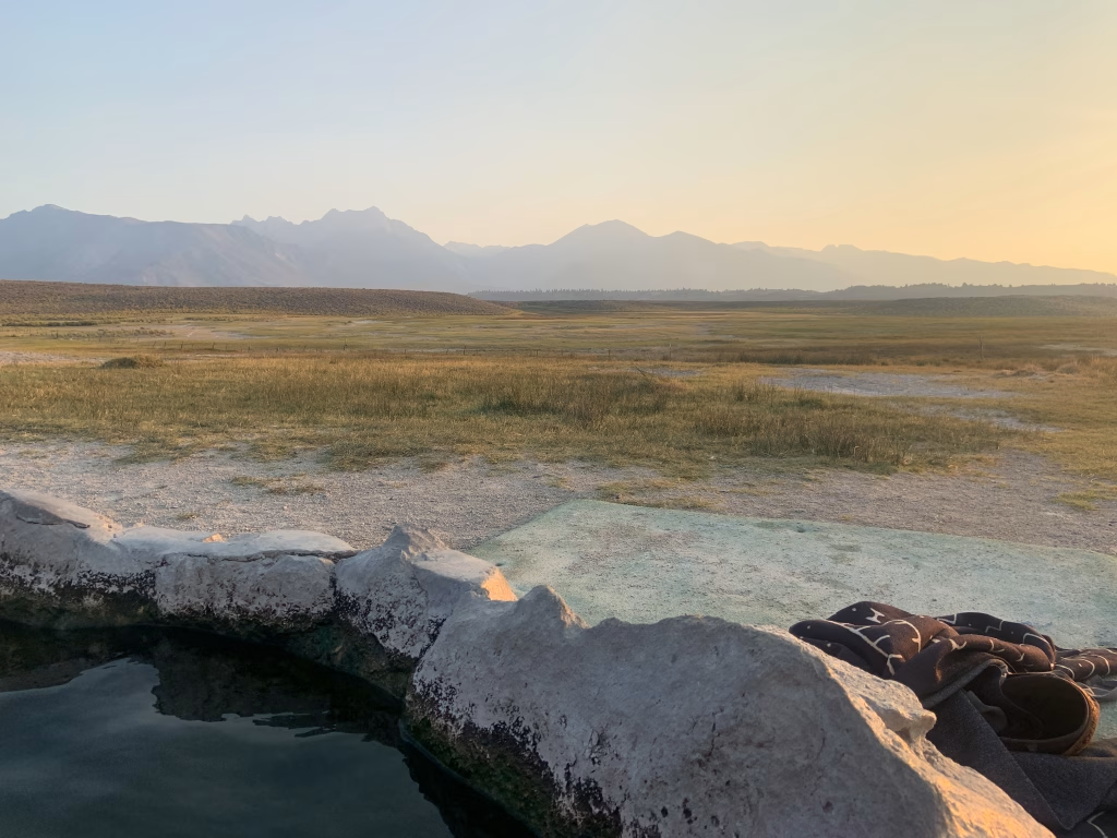
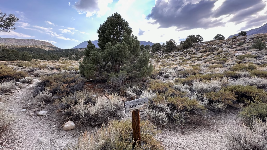
Existing soft-surface roads and trails link Eastern Sierra towns to public lands, vast landscapes, and the High Sierra that defines them all.
100%
Percentage of Federal Land
100%
Percentage of Private Land
100%
Percentage of Easements
100%
Percentage of state land
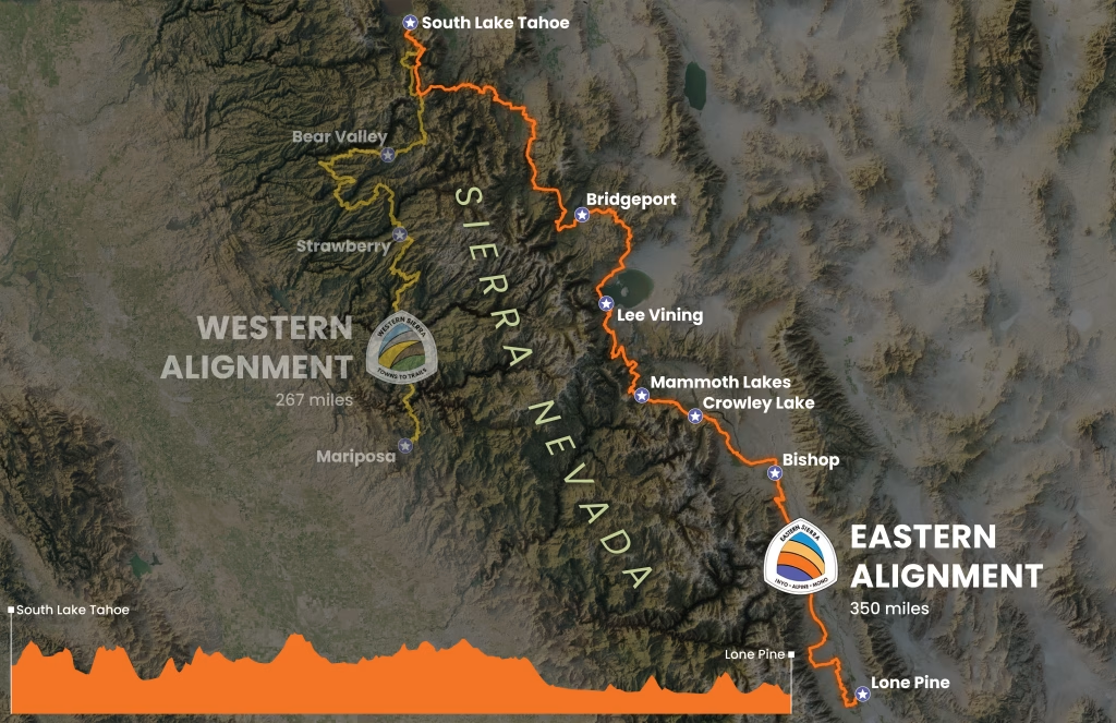
The Eastside Alignment grew from local voices and was further developed through the Eastern Sierra Towns to Trails Plan, which identified existing soft-surface roads and trails as the least impactful way to connect Eastern Sierra communities to the public landscape. The result is a nearly 350-mile alignment from South Lake Tahoe to Lone Pine, derived from an “optimal data analysis” of existing data and infrastructure. The alignment is a vision for connection, not a finished trail. Gaps remain. Future refinements will depend on continued engagement among communities, tribes, land managers, and the people who care for these places.
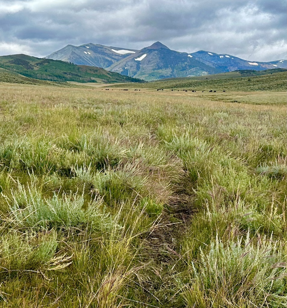
Part of the Continental Divide Trail, National Scenic Trail
user group content
Local communities content
resources content here
How Recognition Could Benefit The Trail and Local Communities
Despite being rebuilt to modern multi-use (and MTB) standards over the
last decade, this route is only just beginning to show up on people’s radar
as a gold-standard of long-distance trail riding. Increased usage would
help to establish the more remote portions of tread while encouraging
more stewardship by local and regional organizations. Northern New
Mexico is a growing center of outdoor recreation, and other trails in
the region including the Rio Grande Trail (in development) create vast
potential for connected loops and longer adventures in the region.
Stay Connected
Shape the Future of Towns to Trails
We’re working to better understand interest in exploring connections across High Sierra regions. Share your information to help us measure interest and inform future experiences, including conservation, planning, and funding efforts.
Your information will inform future grant and advocacy efforts and help us understand interest in Towns to Trails. We won’t use your information for unrelated purposes without your permission.