Westside Alignment
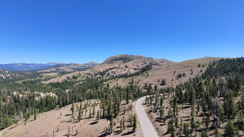
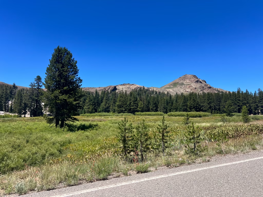
Granite high country, river canyons, and Gold Rush towns.
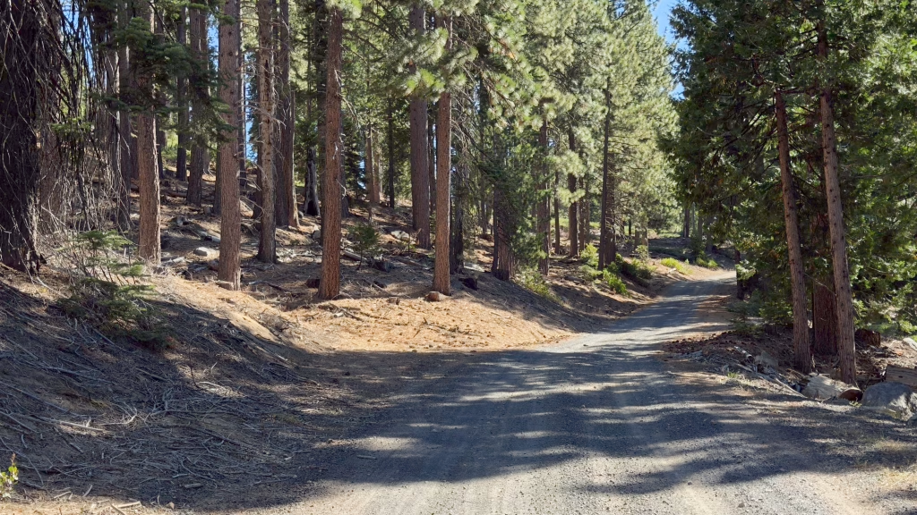
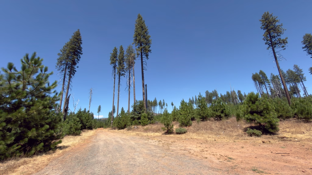
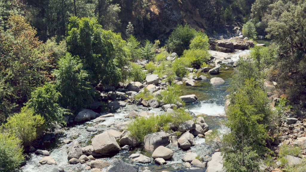
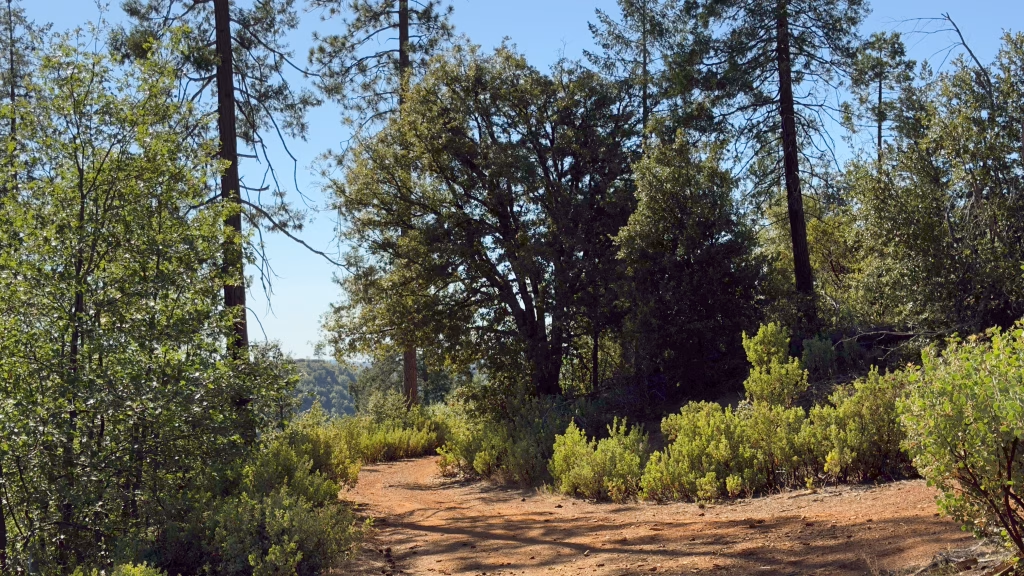
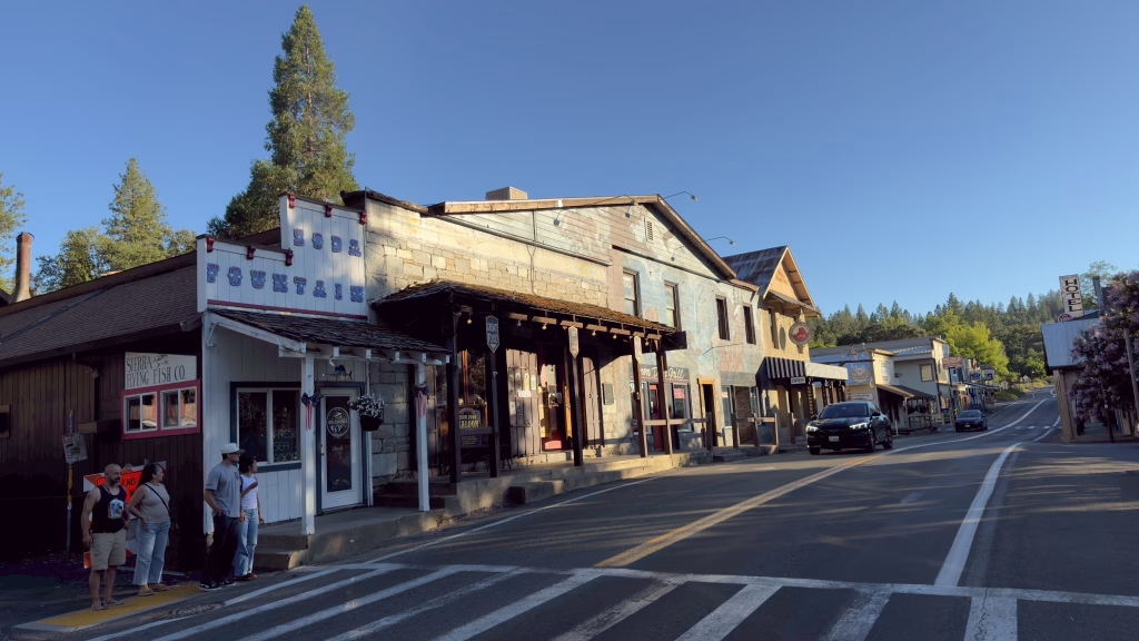
Existing roads and trails that descend from granite high country through pine forest and river canyons to historic foothill towns.
100%
Percentage of Federal Land
100%
Percentage of Federal Land
100%
Percentage of Federal Land
100%
Percentage of Federal Land
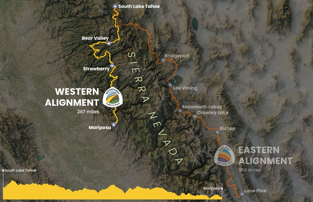
The Westside alignment grew out of the Western Sierra Towns to Trails Plan, which applied the Eastside plan’s approach to the western slope of the Sierra, using existing soft surface road and trail data to identify an optimal path. The result is a nearly 270-mile alignment from South Lake Tahoe to Mariposa that connects communities shaped by mining and timber history to one another and to the public lands around them. It reflects a vision for connection, not a finished trail. Gaps remain, and future work will depend on continued engagement with communities, tribes, land managers, and the people who care for these places.
Stay Connected
Shape the Future of Towns to Trails
We’re working to better understand interest in exploring connections across High Sierra regions. Share your information to help us measure interest and inform future experiences, including conservation, planning, and funding efforts.
Your information will inform future grant and advocacy efforts and help us understand interest in Towns to Trails. We won’t use your information for unrelated purposes without your permission.